The Yuna River and Los Haitises: Understanding the Connection Between River, Wetland and Bay
The natural landscape around Los Haitises National Park is shaped by more than limestone hills, caves and mangrove channels. A much larger water system also influences the region: the Yuna River.
Flowing from the Dominican Republic's interior toward Samaná Bay, the Yuna carries freshwater, sediment and organic material through a broad watershed before reaching the coast. Near the bay, its influence is closely connected with wetlands, mangrove forests and shallow coastal environments.
This river-to-sea connection helps explain why the ecosystems around Los Haitises and Samaná Bay are so diverse. It also shows why protecting the park's coastal habitats requires attention to rivers and land use far beyond the shoreline.
For visitors exploring the region from Sabana de la Mar, understanding the Yuna River adds an interesting perspective to the landscape. The mangroves and coastal waterways are part of a much wider natural system.
1. Where Does the Yuna River Flow?
The Yuna River is one of the Dominican Republic's major rivers. According to the country's Ministry of Environment, it travels approximately 210 kilometres before reaching Samaná Bay.
Its watershed covers a large part of the eastern Cibao Valley and includes areas of several provinces. The river begins in the central mountainous region and receives water from tributaries as it flows through inland communities and agricultural landscapes.
As it approaches the coast, the river enters a low-lying area where wetlands, marshes and deltaic environments become important features of the landscape.
The river's journey connects inland forests and agricultural lands with the coastal environment of Samaná Bay.
2. What Is the Yuna River Delta?
A river delta forms where a river enters a larger body of water and deposits some of the sediment it has carried downstream.
As the river slows near its mouth, sand, silt, clay and organic particles can settle. Over time, these deposits may contribute to mudflats, wetlands, channels and other low-lying landforms.
The lower Yuna is associated with a broad alluvial and deltaic landscape on the western side of Samaná Bay. Geological mapping describes extensive marshy terrain in this area, including wetlands and low-lying depressions.
The river does not simply stop when it reaches the bay. Its freshwater and sediment continue to influence the coastal environment.
The shape of a delta can change gradually as river flow, sediment supply, tides, waves and storms redistribute material.
3. How the Yuna River Connects with Los Haitises
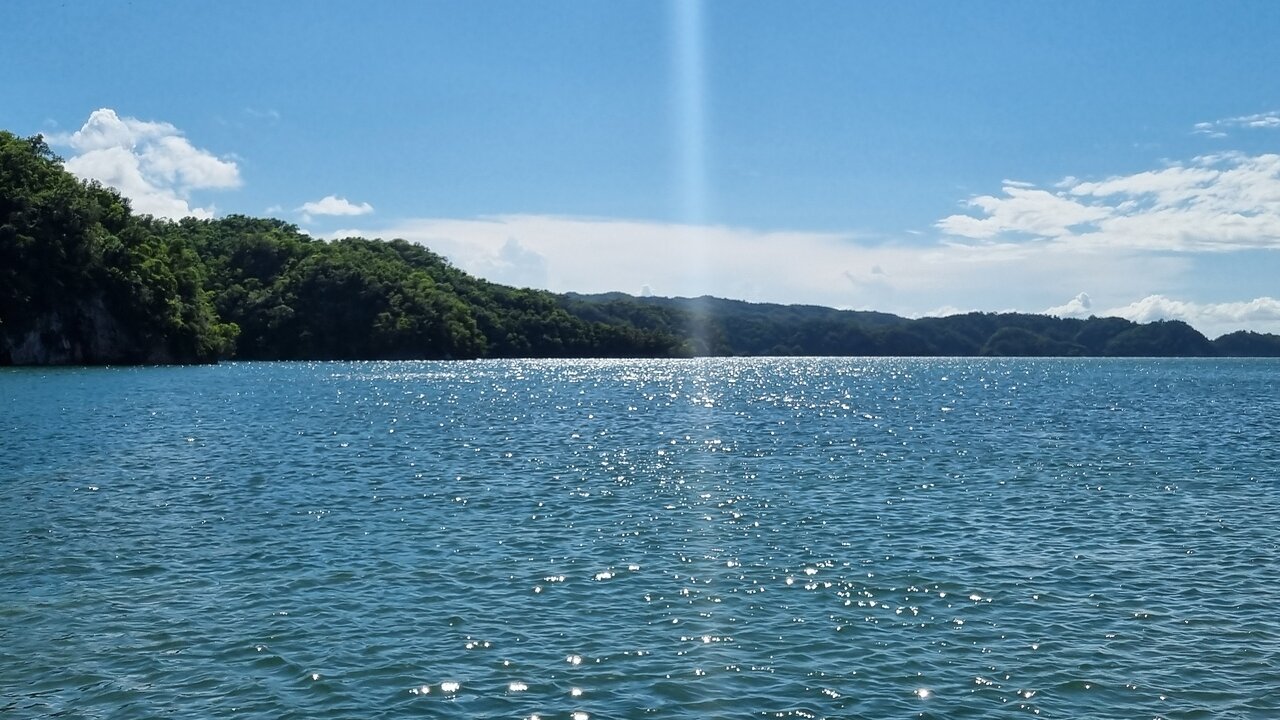
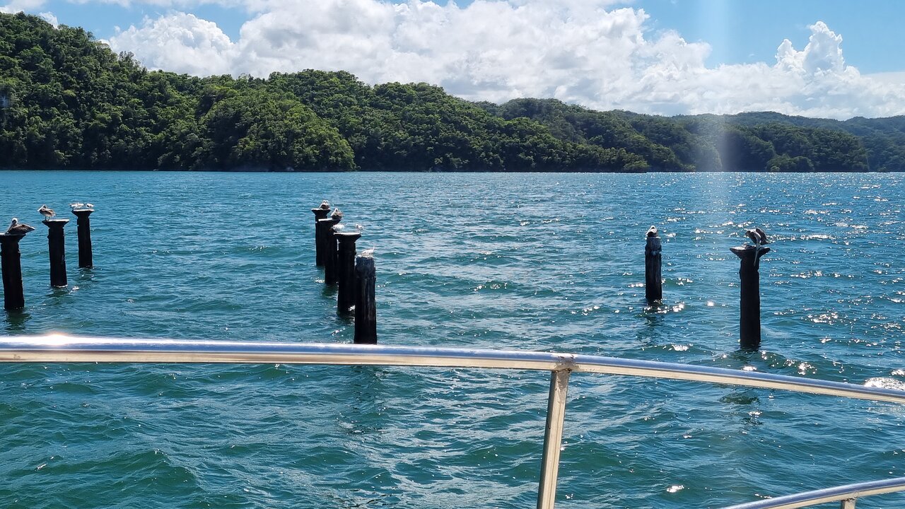
Los Haitises National Park lies along the southern side of Samaná Bay. Its coastal environment forms part of the wider bay system influenced by rivers, wetlands and marine processes.
Research on mangrove forests in the western part of Samaná Bay identifies a broad deltaic area associated with the mouths of the Yuna and Barracote rivers. The study site is described as being within Los Haitises National Park.
This is an important connection: the park's coastal wetlands are not isolated from the surrounding landscape. They are influenced by the freshwater and sediment systems that reach the bay.
However, the Yuna River does not flow through every part of Los Haitises. Its strongest direct influence is associated with the western bay and delta environment. The park's eastern areas, including the Sabana de la Mar side, have their own coastal waterways and local drainage patterns.
Understanding this distinction helps visitors appreciate the park as part of a larger regional ecosystem without assuming that every mangrove channel is directly fed by the Yuna.
4. Why Freshwater Matters to Coastal Wetlands
Mangroves and other coastal wetlands grow in environments where freshwater and seawater interact.
The amount of freshwater entering a coastal area can influence salinity, water movement and the conditions experienced by plants and animals.
The Yuna contributes freshwater to the western part of Samaná Bay. Its flow varies with rainfall, seasonal conditions and water movement throughout the watershed.
These changes can influence:
- Salinity: Freshwater can reduce salinity in parts of an estuary, while tidal seawater can increase it.
- Water levels: River discharge and tides both affect the depth and movement of coastal water.
- Nutrient supply: Rivers transport dissolved nutrients and organic material from inland areas.
- Sediment movement: River flow carries particles that may settle in wetlands and coastal waters.
Mangrove species differ in their tolerance of salinity, flooding and soil conditions. The changing balance between river water and seawater therefore helps shape the distribution and condition of coastal vegetation.
5. How the Yuna Supports Mangrove Habitats
Mangrove forests are a major feature of the coastal wetland system around Samaná Bay.
A scientific study of a mangrove forest at the western end of the bay, within Los Haitises National Park, describes a delta environment associated with the Yuna and Barracote rivers. It identifies red mangrove and white mangrove as dominant species at the study site, with black mangrove also present.
Mangroves provide several important ecological functions.
Coastal habitat: Their roots and branches create shelter for fish, crabs, molluscs and other organisms.
Sediment stabilization: Root systems help hold soft sediments in place and can reduce erosion in suitable coastal settings.
Wildlife support: Mangrove forests provide feeding, resting and breeding habitats for various birds and other animals.
Organic material: Leaves, roots and other plant material contribute to food webs in nearby waters.
Coastal protection: Mangrove vegetation can reduce wave energy and help protect some shorelines from erosion and storm impacts.
The relationship between the Yuna and mangroves is therefore not simply about water reaching the trees. River flow, sediment and nutrients help shape the physical and ecological conditions in which wetlands develop.
6. Why River Sediment Is Both Natural and Important
Sediment is a normal part of a river system.
As water moves through a watershed, it picks up particles from soil, riverbanks and other surfaces. When the river slows near the coast, some of these particles settle.
In a natural delta, sediment deposition can help build or maintain wetlands and coastal landforms. It is part of the long-term process through which river landscapes change.
But the amount and type of sediment matter.
Excessive sediment can increase turbidity, reduce underwater visibility and affect sensitive marine habitats. Fine particles can settle over organisms and surfaces, while polluted sediment may carry contaminants.
Research on Samaná Bay has examined sediment accumulation and changes associated with river discharge, extreme weather and human activities in the watershed.
The important distinction is that natural sediment movement is necessary for delta development, while unusually high or contaminated sediment loads can create environmental problems.
7. How Rainfall and Storms Influence the River-to-Bay System
Rainfall affects the Yuna River from its upper watershed to its coastal outlet.
During wet periods, more water can enter tributaries and increase river discharge. Strong rainfall can also cause greater soil erosion and transport additional sediment downstream.
Tropical storms and hurricanes may intensify these processes. Heavy rainfall can produce rapid runoff, while flooding and landslides can move large amounts of soil and other material into river channels.
Research on Samaná Bay has examined how extreme weather events and changes in river discharge influence sedimentation in the bay.
These processes can affect:
- River levels and floodplains.
- Sediment deposits near the river mouth.
- Water clarity in coastal areas.
- Wetland and mangrove conditions.
- The shape of shallow coastal environments.
The effects are not identical after every storm. They depend on rainfall, river conditions, sediment availability, coastal currents and the location being examined.
8. How Human Activities in the Watershed Affect the Coast
The health of a river mouth depends partly on what happens throughout the watershed.
Agriculture, construction, deforestation, mining and poorly managed land use can change how water and sediment move across the landscape.
When vegetation is removed, exposed soil may be more easily washed into streams and rivers. Construction and road development can also alter drainage patterns. Wastewater and agricultural runoff may introduce pollutants into water systems.
Studies of the Yuna watershed and its wetlands have identified human land-use pressures as important factors in sediment delivery and mangrove conservation.
Potential environmental pressures include:
Deforestation: Removing trees and other vegetation can increase soil exposure and erosion.
Unsustainable farming practices: Poor soil management can increase sediment runoff from agricultural land.
Mining and excavation: Disturbed ground can contribute additional particles to drainage systems if not properly managed.
Urban development: Poorly planned construction may change drainage and increase polluted runoff.
Waste disposal: Rubbish and untreated wastewater can harm river and coastal habitats.
These pressures demonstrate why coastal conservation cannot focus only on the water's edge. Protecting the river basin is also part of protecting Samaná Bay.
9. What Is the Difference Between the Yuna Delta and the Mangroves of Los Haitises?
The Yuna delta and the mangroves of Los Haitises are related, but they are not interchangeable terms.
The Yuna delta describes the river-influenced landscape near the river's mouth, where freshwater, sediment and coastal processes interact.
Mangroves are a type of coastal forest growing in suitable tidal and estuarine environments.
Los Haitises National Park is a protected area containing a wider variety of habitats, including limestone formations, caves, forests, mangroves and coastal environments.
Some mangrove forests are located within the deltaic environment associated with the Yuna and Barracote rivers. Other mangrove habitats occur in different parts of the park and the wider bay.
Recognizing these distinctions makes it easier to understand the geography and ecology of the region.
10. Can Visitors See the Yuna River When Exploring Los Haitises?
The Yuna River's main delta is located on the western side of Samaná Bay. It is not the same place as the eastern access area around Sabana de la Mar.
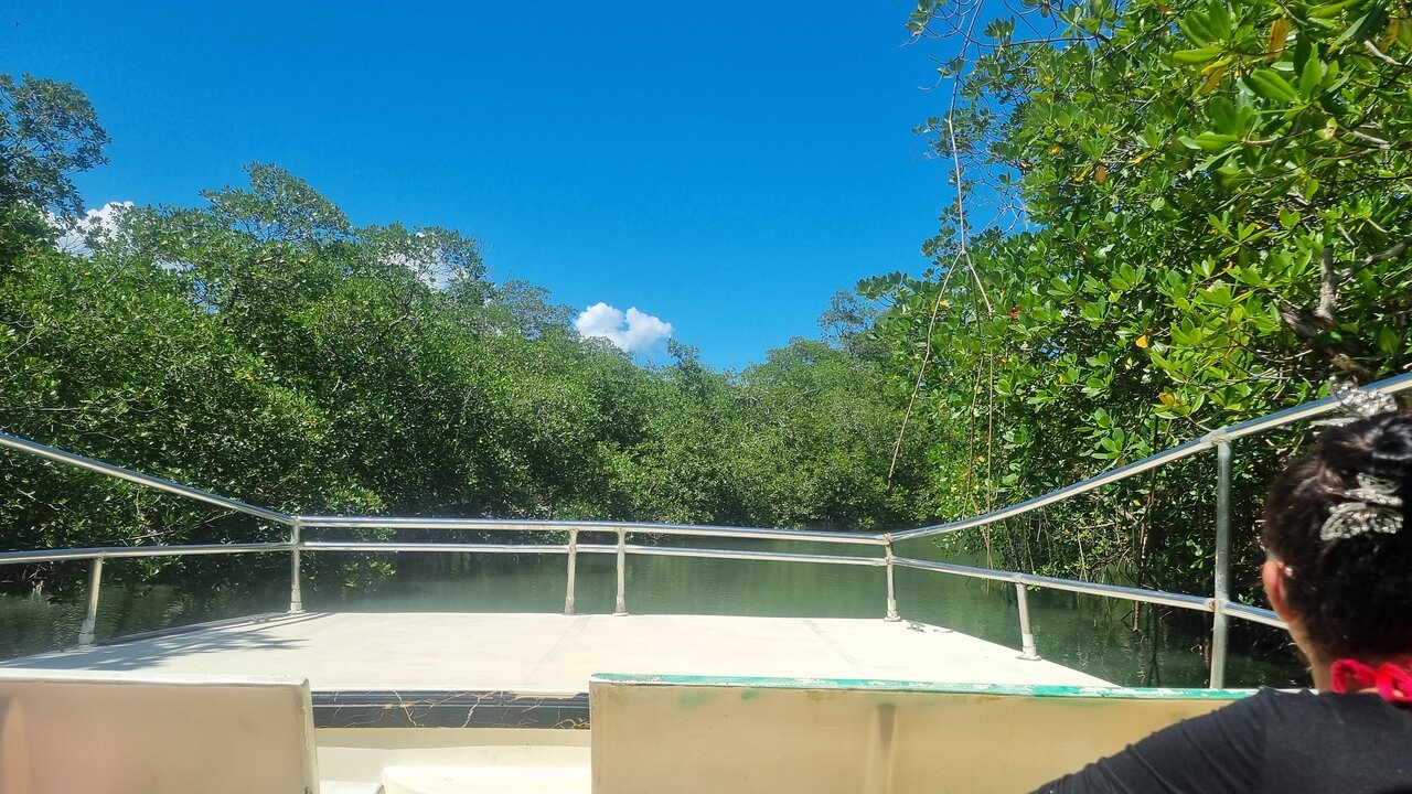
Visitors departing from Sabana de la Mar generally explore the eastern side of Los Haitises, where limestone formations, mangrove channels, caves and coastal scenery are among the main natural attractions.
A trip from this side should not automatically be described as a Yuna River excursion. The route and destinations depend on the operator and the specific trip.
Travelers interested in the Yuna delta should check the departure location, route and actual destination before booking. This avoids confusing the western delta region with the eastern park access area.
11. Why Protecting the Yuna Watershed Helps Protect Samaná Bay
The river and the bay are connected by the continuous movement of water and sediment.
Protecting the coastal environment therefore involves more than cleaning beaches or preserving mangrove trees. It also requires responsible management of land, forests, farms, settlements and drainage systems throughout the watershed.
Important conservation priorities include:
- Maintaining natural vegetation along rivers and streams.
- Reducing soil erosion through responsible land management.
- Preventing untreated wastewater and rubbish from entering waterways.
- Monitoring sediment and water quality.
- Protecting mangrove forests and wetlands.
- Supporting scientific research and long-term environmental monitoring.
- Encouraging cooperation between communities and conservation authorities.
These actions can help maintain the ecological functions of the river, wetlands and coastal bay.
12. Frequently Asked Questions About the Yuna River and Los Haitises
Where does the Yuna River flow into the sea?
The Yuna River flows into Samaná Bay on the northeastern coast of the Dominican Republic.
How long is the Yuna River?
The Dominican Republic's Ministry of Environment describes the river as approximately 210 kilometres long.
Is the Yuna River inside Los Haitises National Park?
The river's main course and watershed extend well beyond the park. Its deltaic environment is associated with the western part of Samaná Bay, where research has documented mangrove forest within Los Haitises National Park.
Does the Yuna River feed all the mangroves in Los Haitises?
No. The Yuna influences the western bay and its deltaic wetlands. Other parts of Los Haitises have their own local coastal waterways and drainage systems.
Why is the Yuna River important to Samaná Bay?
It delivers freshwater, sediment and organic material to the bay. These inputs influence estuarine conditions, wetlands and coastal landforms.
What is a river delta?
A river delta is a low-lying area formed where a river deposits sediment as it enters a larger body of water. Deltas often contain channels, wetlands and marshes.
Can tourists visit the Yuna River delta from Sabana de la Mar?
Do not assume that a standard excursion from Sabana de la Mar visits the Yuna delta. The delta is on the western side of Samaná Bay. Visitors should confirm the exact departure point and route with an operator.
Does sediment always damage mangroves?
No. Natural sediment is part of wetland development and can help build coastal landforms. Problems occur when sediment inputs become excessive, carry pollutants or bury sensitive habitats.
Discover the Wider Natural System Behind Los Haitises
The Yuna River helps explain how the landscapes around Samaná Bay are connected. Its journey from the inland watershed to the coast influences freshwater conditions, sediment movement, wetlands and mangrove habitats.
Los Haitises is part of this larger natural system. Its protected coastal environments depend not only on local conservation but also on the health of surrounding rivers and watersheds.
For travelers, learning about the Yuna adds another layer to understanding the Dominican Republic's northeastern coast. For everyone who values this region, protecting the connection between river, wetland and bay is essential to preserving its natural heritage.
Local explorer & expert guide in Birding Dominican Republic.