Where Is Los Haitises National Park Location, Map and Access Guide (2027)
If you are planning to explore the natural attractions of the Dominican Republic, one destination worth finding on your map is Los Haitises National Park. This protected area is located in the northeastern part of the country, near Samaná Bay and the coastal town of Sabana de la Mar.
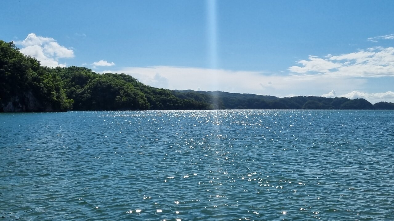
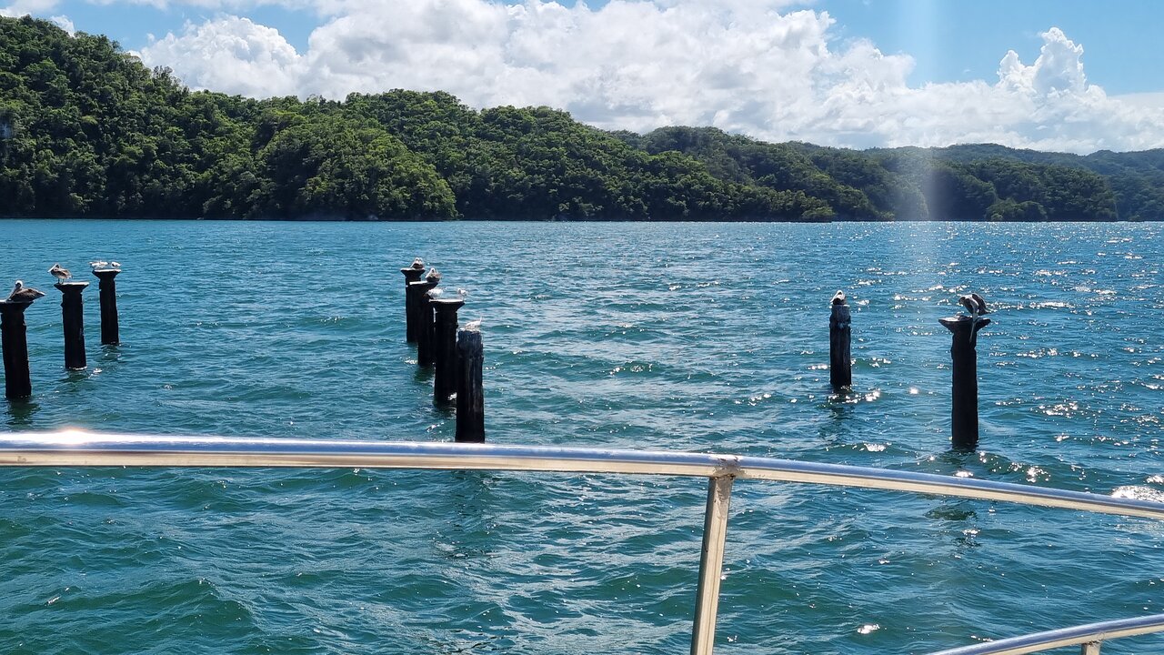
Although many international visitors know the Dominican Republic for Punta Cana, Puerto Plata, and Samaná, Los Haitises offers a different landscape. Its location brings together coastal waterways, limestone hills, mangrove forests, caves, and tropical vegetation.
Understanding where the park is located is an important first step when planning a visit. The distance from your hotel, your chosen departure point, and the type of excursion you select can all influence how you reach the area.
This guide explains the geographical location of Los Haitises, its relationship with Sabana de la Mar and Samaná Bay, the surrounding provinces, and the main considerations for reaching the park.
Where Is Los Haitises National Park Located?
Los Haitises National Park is situated in northeastern Dominican Republic, southwest of Samaná Bay. It is associated with the provinces of Hato Mayor, Monte Plata, and Samaná.
The Dominican Republic's Ministry of Environment describes the park's location as being near Samaná and Sabana de la Mar. Its protected landscape includes coastal areas, mangroves, limestone formations, and forest environments.
Sabana de la Mar is particularly important for visitors approaching the park from the southern side of Samaná Bay. The town is located in Hato Mayor Province and is commonly associated with excursions into the Los Haitises region.
Useful location details:
- Country: Dominican Republic
- Region: Northeastern Dominican Republic
- Nearby coastal area: Samaná Bay
- Important nearby town: Sabana de la Mar
- Associated provinces: Hato Mayor, Monte Plata, and Samaná
- Natural environment: Limestone formations, mangroves, forests, caves, and coastal waterways
Los Haitises is not simply one small viewpoint or a single attraction. It is a protected natural area with different environments and visitor locations. This is why it is important to check the exact destination included in a tour rather than assuming every excursion follows the same route.
Where Is Los Haitises on the Dominican Republic Map?
When looking at a map of the Dominican Republic, search for Samaná Bay in the northeastern part of the country. Los Haitises lies along the southwestern side of this bay and extends across a wider landscape associated with several provinces.
Sabana de la Mar is located on the southern side of Samaná Bay. It is one of the most useful place names to remember when researching access to the park.
For visitors, the simplest way to understand the geography is to think of three connected areas:
- Samaná Bay: The large coastal bay that forms an important part of the park's surrounding geography.
- Sabana de la Mar: A coastal town that serves as an important gateway for exploring the region.
- Los Haitises National Park: The protected landscape of mangroves, limestone formations, caves, forests, and waterways.
When using an online map, search for both “Los Haitises National Park” and “Sabana de la Mar.” Then confirm the exact meeting point of your chosen excursion with the operator.
A general map pin for the park should not be treated as the exact location of every boat departure, cave entrance, or visitor activity.
What Is the Relationship Between Los Haitises and Sabana de la Mar?
Sabana de la Mar is one of the most important nearby towns for travelers interested in visiting Los Haitises.
It is located in Hato Mayor Province, close to the southern side of Samaná Bay. Its geographical position makes it a practical place to investigate local excursions and access arrangements for the park.
The town also offers visitors a chance to experience a quieter part of the Dominican Republic beyond the country's major resort destinations.
Travelers planning a visit should distinguish between three separate locations:
- Their hotel or accommodation in Sabana de la Mar.
- The tour operator's meeting or departure point.
- The actual places visited inside the protected park.
These locations may not be identical. For example, a tour may require a transfer from an accommodation to a designated departure point before the boat journey begins.
Before traveling, confirm the meeting address and departure arrangements directly with the operator.
Which Provinces Are Connected to Los Haitises?
Los Haitises is a large protected landscape rather than an attraction contained within one town.
Its geographical setting is associated with three provinces:
Hato Mayor Province
Hato Mayor is particularly relevant to visitors approaching from Sabana de la Mar. The town is an important reference point for excursions and travel planning on the southern side of Samaná Bay.
Monte Plata Province
Monte Plata is also associated with the wider protected landscape. Its connection to Los Haitises illustrates that the park extends beyond the immediate coastal area.
Samaná Province
Samaná is located across the bay and is another important geographical reference for travelers exploring the northeastern Dominican Republic.
The exact route between a visitor's accommodation and a particular park attraction depends on the departure point and the selected excursion.
Why Does the Geography of Los Haitises Look Different?
Los Haitises has a distinctive landscape shaped by limestone geology and coastal ecosystems.
The Dominican Republic's Ministry of Environment identifies the park as an important karst region, with mangrove forests and limestone formations known as mogotes.
These features explain why the scenery is so different from the open beaches and flat resort landscapes found in other parts of the country.
Limestone hills and mogotes
The park contains unusual limestone formations that rise above surrounding vegetation and water. These formations are among its most recognizable visual features.
They create a landscape of green hills, rocky surfaces, and sheltered waterways.
Mangrove coastlines
Mangroves grow in coastal and tidal environments around the park. Their complex root systems create habitats for wildlife and help support the coastal ecosystem.
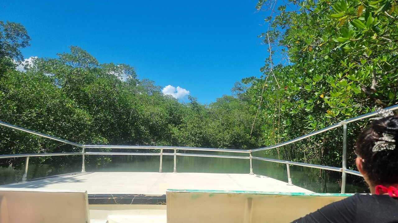
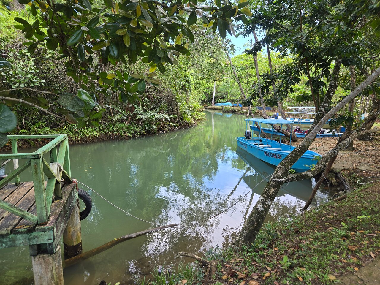
The mangrove channels are also an important part of the scenery experienced during authorized boat excursions.
Forest environments
Beyond its coastal landscape, Los Haitises includes tropical forest environments. These areas contribute to the park's ecological diversity and provide habitats for different plant and animal species.
Caves and rocky formations
Caves are another important geographical and cultural feature of the region. Some contain Taíno pictographs and petroglyphs, making them valuable historical sites.
Access to individual caves can change because of conservation, maintenance, or safety measures. Visitors should confirm current access conditions before planning a cave visit.
How Do You Reach Los Haitises National Park?
The best route depends on where you are staying and which part of the park you want to visit.
From Sabana de la Mar
Sabana de la Mar is a useful starting point for visitors approaching the park from the south.
Travelers can research organized boat excursions and local guided experiences operating in the area.
Before booking, ask:
- Where exactly does the excursion depart?
- Is transportation from your hotel included?
- How long is the boat journey?
- Which parts of the park are included?
- Are cave visits or mangrove channels part of the itinerary?
- What happens if weather conditions affect the route?
Do not assume that every tour departing from Sabana de la Mar visits the same attractions.
From Samaná
Visitors staying in Samaná may find excursions that include Los Haitises as part of a wider regional itinerary.
The route can differ depending on the operator and transportation arrangement. Check whether the trip includes boat transportation, road transfers, or a combination of both.
From Punta Cana
Punta Cana is farther away from the Los Haitises region than Sabana de la Mar.
Visitors staying in Punta Cana should compare the total journey time and decide whether an organized full-day excursion is suitable.
Ask for a clear breakdown of pickup, transfer, activity, and return times before confirming a reservation.
From Santo Domingo
Travelers from Santo Domingo can plan a journey toward the northeastern part of the Dominican Republic.
The Dominican Republic's Film Commission location directory lists Los Haitises under Sabana de la Mar and provides a reference travel-time estimate from Santo Domingo. Actual journey times depend on the precise starting location, traffic, road conditions, and final destination.
For that reason, confirm the expected journey with your transport provider rather than relying on a single general estimate.
From Miches
Miches is another useful geographical reference when planning travel in the eastern part of the Dominican Republic.
If you are staying in Miches, compare available transport and excursion arrangements. The best option depends on whether your chosen experience begins near Sabana de la Mar or uses another departure point.
Is Los Haitises Close to Samaná?
Los Haitises is geographically connected to the Samaná region, but the distance and journey depend on which part of Samaná you are visiting.
Samaná Bay is a major geographical feature separating and connecting several locations around the area.
Travelers should not assume that staying in Samaná town, Las Terrenas, or Sabana de la Mar means they will use the same access route.
When booking an excursion, check the exact pickup location and departure point. This is more useful than relying on a broad statement that Los Haitises is simply “near Samaná.”
Is Sabana de la Mar a Good Place to Stay Before Visiting?
Sabana de la Mar can be a practical location for travelers who want to explore the southern side of the Los Haitises region.
Staying nearby may help reduce the need for a long journey on the day of an excursion, depending on the selected departure point.
It can also allow visitors to spend more time exploring the surrounding region instead of treating the park as a quick stop during a longer Dominican Republic holiday.
When choosing accommodation, consider:
- Distance from your planned tour departure point.
- Availability of local transportation.
- Check-in and check-out times.
- Meal arrangements.
- Whether your accommodation can help coordinate transport.
- Whether you want to stay for one night or several days.
For travelers interested in nature-focused accommodation, explore the information available at Glamping Los Haitises.
Important Things to Know Before Using a Map
A map is useful for understanding the general location of Los Haitises, but it cannot replace current visitor information.
Keep these points in mind:
A park boundary is not a tour route. A map may show the protected area without showing which parts are accessible to visitors.
A location pin is not always a departure point. Confirm the actual meeting location with your operator.
Access can change. Weather, maintenance, safety decisions, and conservation restrictions may affect individual attractions.
Some locations require authorized access. Do not enter restricted areas or arrange activities that conflict with park regulations.
For example, the Ministry of Environment announced a temporary closure of Cueva de la Línea on June 23, 2026, because of deterioration of its access pier. Check for a later official update before planning to visit that cave.
Frequently Asked Questions
Where exactly is Los Haitises National Park?
Los Haitises is in northeastern Dominican Republic, near Samaná Bay and Sabana de la Mar. The protected area is associated with Hato Mayor, Monte Plata, and Samaná provinces.
Is Los Haitises located in Sabana de la Mar?
The park is not limited to the town itself. However, Sabana de la Mar is an important nearby gateway and geographical reference for visitors exploring the area.
Is Los Haitises in Samaná Province?
The park is associated with more than one province, including Samaná, Hato Mayor, and Monte Plata. It is therefore more accurate to describe it as a protected area in northeastern Dominican Republic rather than assigning the entire park to one province.
Is Los Haitises near Punta Cana?
It is not immediately next to Punta Cana. Visitors staying there should plan transportation carefully and check the full journey time before booking an excursion.
Can I reach Los Haitises without a boat?
Access depends on the specific location and activity. Many of the best-known visitor experiences involve boat transportation through coastal waterways. Confirm the permitted access method for your chosen attraction.
What town should I search for when planning a visit?
Search for Sabana de la Mar when researching the southern access area. Also confirm the exact meeting point provided by your tour operator.
Is there an official map of Los Haitises?
Yes. The Dominican Republic's Ministry of Environment publishes protected-area maps, including a map for Los Haitises National Park. These are useful for understanding the park boundary and surrounding geography.
Plan Your Route to Los Haitises
Finding Los Haitises National Park on the map is only the first part of planning your visit. You should also identify your departure town, the tour meeting point, and the attractions included in your itinerary.
For many visitors, Sabana de la Mar is an important starting point because of its position beside Samaná Bay and its connection to the park.
Whether you are traveling from Sabana de la Mar, Samaná, Santo Domingo, Punta Cana, or Miches, confirm your route and transportation arrangements before departure.
If you are planning to explore the area, compare the available Los Haitises tour information and check which excursion best matches your location and travel schedule.
A little geographical preparation can make your visit easier and help you spend more time enjoying the natural scenery of Los Haitises.
Local explorer & expert guide in Birding Dominican Republic.